History 3010
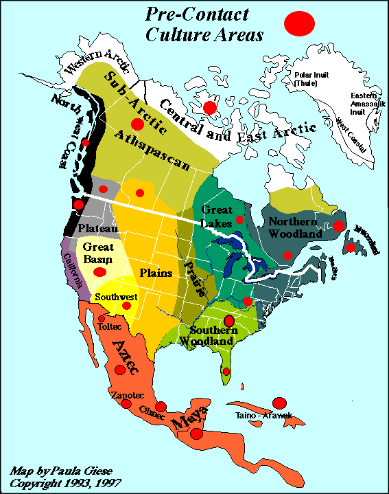
Maps
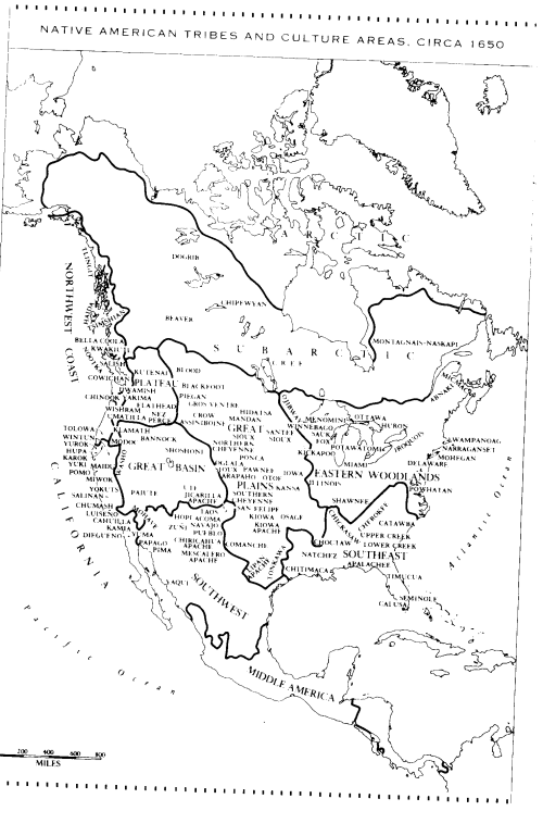
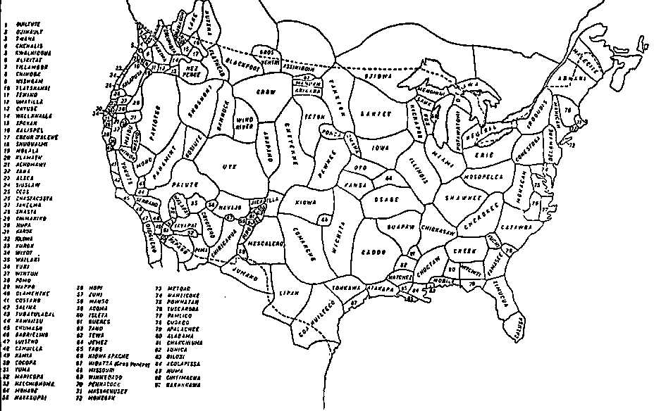
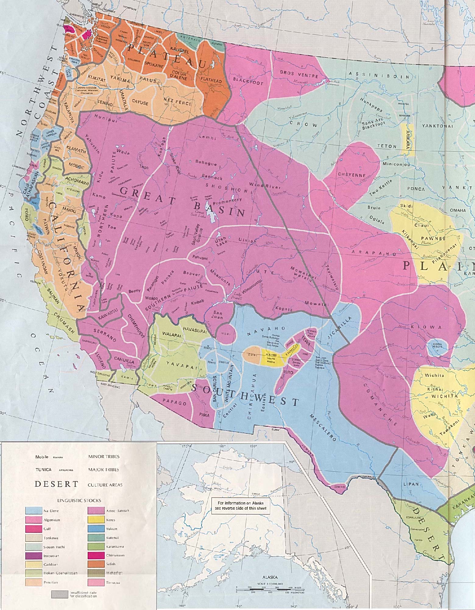
(for zoomable maps: http://www.lib.utexas.edu/maps/histus.html)
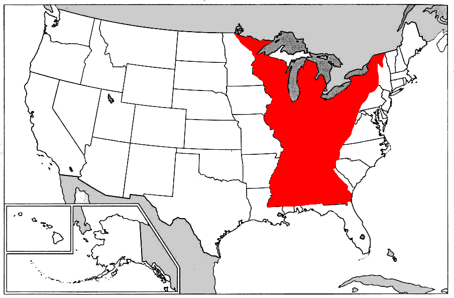
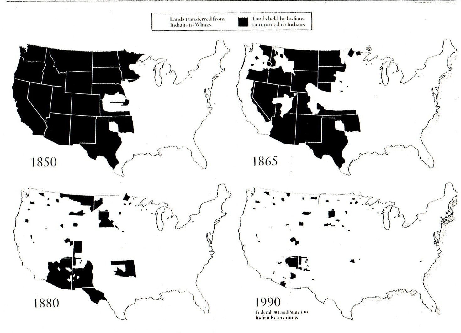
- Indian Country was originally designated in 1793 under the King's Proclamation Line.
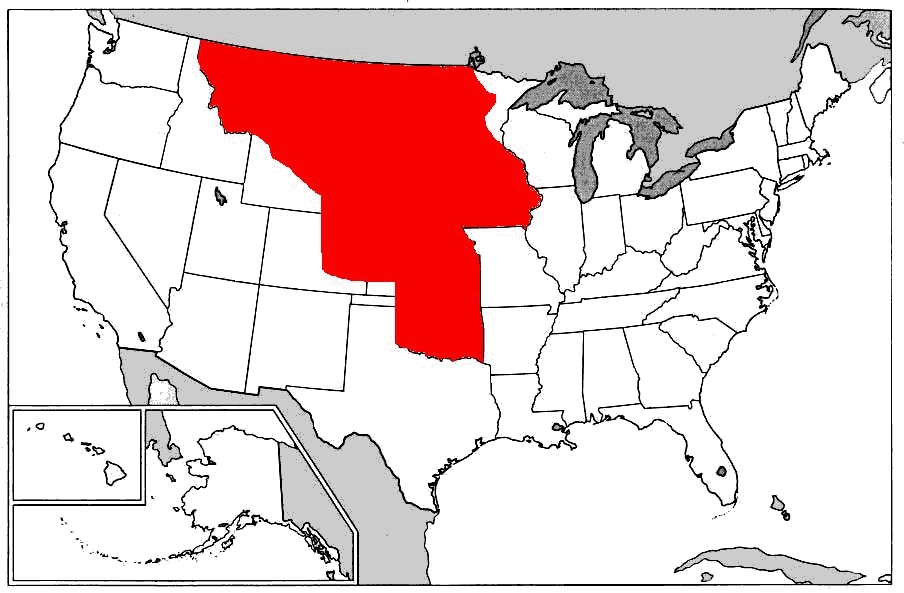
- The boundaries moved west of the Mississippi under the Indian Trade and Intercourse Act of 1834.
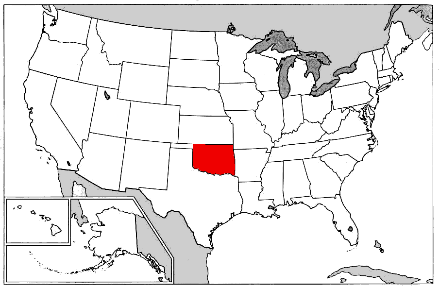
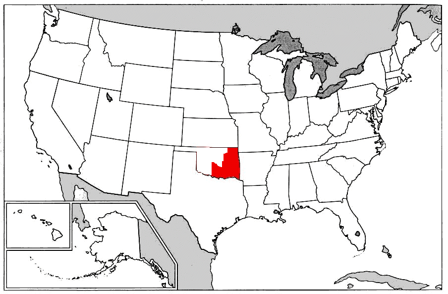
- By 1876, with the admission of Kansas and Nebraska to the Union, Indian Country had shrunk to what is now the state of Oklahoma, excluding the panhandle.
- By 1889 after the passage and initial implementation of General Allotment Act and the creation of Oklahoma Territory, Indian Country had shrunk to its final form.
( http://americanindiantah.com/history/nar_19thcenturyrelations.html)
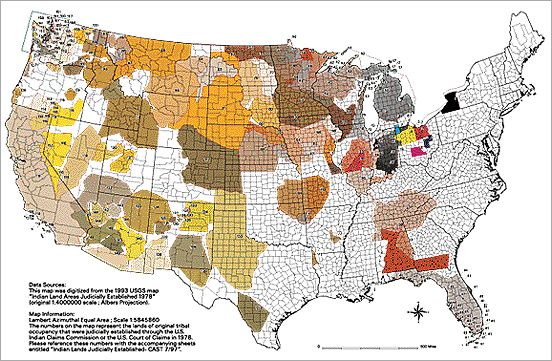 (
http://www.nps.gov/nagpra/DOCUMENTS/ClaimsMAP.htm
(
http://www.nps.gov/nagpra/DOCUMENTS/ClaimsMAP.htm